
Organic Maps is great in many ways. It uses OSM for its mapping. As someone who regularly contributes to OSM, I appreciate that a lot.
But it doesn't do traffic, which is literally the only reason I want a navigation app.
Overview:
Organic Maps is a free open-source Android & iOS offline maps app for travelers, tourists, hikers, and cyclists based on top of crowd-sourced OpenStreetMap data and curated with love by MapsWithMe (Maps.Me) founders back from 2021.
Download Organic Maps from:
Organic Maps is great in many ways. It uses OSM for its mapping. As someone who regularly contributes to OSM, I appreciate that a lot.
But it doesn't do traffic, which is literally the only reason I want a navigation app.
It isn't open source, which makes it's hard to verify their claims, but Magic Earth uses OSM data and has traffic data in some countries. It has worked really well for me in the UK with arrival times being quite accurate to within a couple of minutes for 3-4 hour drives. They claim not to gather/sell any of your data, as they make their money through corporate customers.
I’ll use Organic Apps as soon as public transport integration is working in my city. ATM it seems to be a build time feature-flag, which is no use for my phone.
The main use I have for navigation apps is traffic and bypassing it where possible. OSMand and Organic Maps, as well as every other app using OpenStreetMaps I’ve tried over the last 5-10 years, do not do traffic.
Currently using Here WeGo, the maps are great, the business information is up to date (at least in my area of the world) and it does traffic.
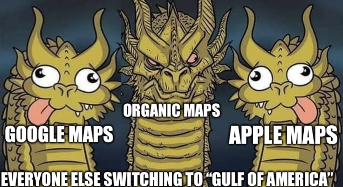
As a benefit, it’s also not renamed to Gulf of America

I also encourage everyone to start updating their local areas with businesses and poi's to help OSM grow. I do it and it's super fun. :)
I just recently put in a Note for a fix in my local area (not a business, but an incorrectly placed toll road), but looking around the area I see a bunch of other Notes that are months old that don't seem to have been actioned. So I don't have a lot of hope that my feedback will be fixed any time soon.
It's always better to fix yourself if you can. Anonymous notes are not always looked at unless you've really put a good explanation. If you just wrote "wrong toll booth location" it's probably not going to be fixed indeed. You can share your notes link here if you want and maybe somebody will fix it seeing it here. If you don't have an account then contributors can't ask follow up questions either...
Edit: just saw you linked it and it was resolved sorry
It’s always better to fix yourself if you can
Like I said elsewhere, I've so far not gotten value out of Organic Maps, and the burden to create an account and learn how to contribute something fairly complicated like this is higher than I'm willing to go to to contribute back to a service that hasn't even provided me value.
Anonymous notes are not always looked at unless you’ve really put a good explanation
I'd like to think my note had a pretty good explanation. It was fairly specific about the issue and what the resolution should be. As you've seen, it did get fixed, thanks to @eatham@aussie.zone. But getting bespoke help by finding it on Lemmy is not exactly ideal, and considering all those other unresolved notes still haven't been resolved, I don't have much hope that my note would have been resolved either, had I not linked it in here. That's...not great, and doesn't encourage contributors to help out more.
I'd encourage use of StreetComplete, you can walk around your local area and get lots of points to survey with data on street widths or businesses' opening times. Imagine if all the people who were busy with Pokemon Go used that, OpenStreetMap would be nigh perfect in terms of data.
Amusingly, it's widely believed that improving location information is a big part of the reason Niantic (at the time a subsidiary of Google) created Ingress (their game before Pokemon Go—and a much better-designed game, IMO) in the first place.
Are there any iOS equivalents to StreetComplete?
there is Every Door on iOS, as well as MapComplete and MapContrib which are websites so they should work on iOS
idk if any of these are as good as StreetComplete tho
My city doesn't have home addresses listed on OSM. Can I just sorta copy/paste them from Google maps, or do I have to like physically walk around to get addresses so I'm not using copyrighted material?
You need to abide by copyright laws. There might be public address data from you gov that you might be allowed to copy to OSM. Otherwise yes walking around would be best
You cannot copy anything from Google Maps. You seed to source data either from public sources or colle~~l~~ct it first-hand.
It's kind of like Wikipedia, you have to cite the original source (State or council maps) rather than a 3rd party source.
The map data for my suburb is all kinds of wrong on Google Maps, there's a park around the corner from me which is marked as a house for starters, blindly copying that into OSM would be a disservice.
Not necessarily original source - you can use aerial imagery from Bing, for example.
The actual requirement is actually a legal one. The data must be public domain or otherwise compatible with their license.