this post was submitted on 27 Nov 2023
913 points (98.7% liked)
Funny: Home of the Haha
5651 readers
413 users here now
Welcome to /c/funny, a place for all your humorous and amusing content.
Looking for mods! Send an application to Stamets!
Our Rules:
-
Keep it civil. We're all people here. Be respectful to one another.
-
No sexism, racism, homophobia, transphobia or any other flavor of bigotry. I should not need to explain this one.
-
Try not to repost anything posted within the past month. Beyond that, go for it. Not everyone is on every site all the time.
Other Communities:
-
/c/[email protected] - Star Trek chat, memes and shitposts
-
/c/[email protected] - General memes
founded 1 year ago
MODERATORS
you are viewing a single comment's thread
view the rest of the comments
view the rest of the comments

I mean it is a big island.
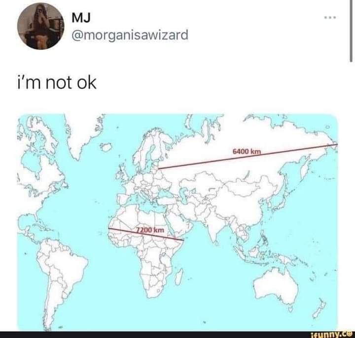
But on the standard map it looks like it's as big as Mexico, Canada, and USA combined.
When really it's only about 30% larger than Alaska by square km.
You undersell Alaskas sheer square milage, it is a chunky boy
Alaska is 1.7 m sq km and greenland is 2.2 m sq km. So I don't think I'm too far off.
So greenland is a bit bigger, when it's crazy on the map they don't look at all to be on the same scale.
It's even crazier for Mexico. Mexico is only a little bit smaller, but on the map it looks abysmally small in comparison.
My point is Alaska is 1/5 of the USA's landmass. Calling Greenland a big island is underselling. If it were on its own in the Atlantic or pacific we'd argue over if it count as a dwarf continent
I'm not saying it's not a massive island.
But just on standard maps it looks like it's the size of Mexico, Canada, and US put together.
When it's just a bit bigger than Mexico.