sobs quietly (s3.eu-central-2.wasabisys.com)
submitted 2 years ago* (last edited 2 years ago) by to c/politicalhumor@lemmy.ml
 

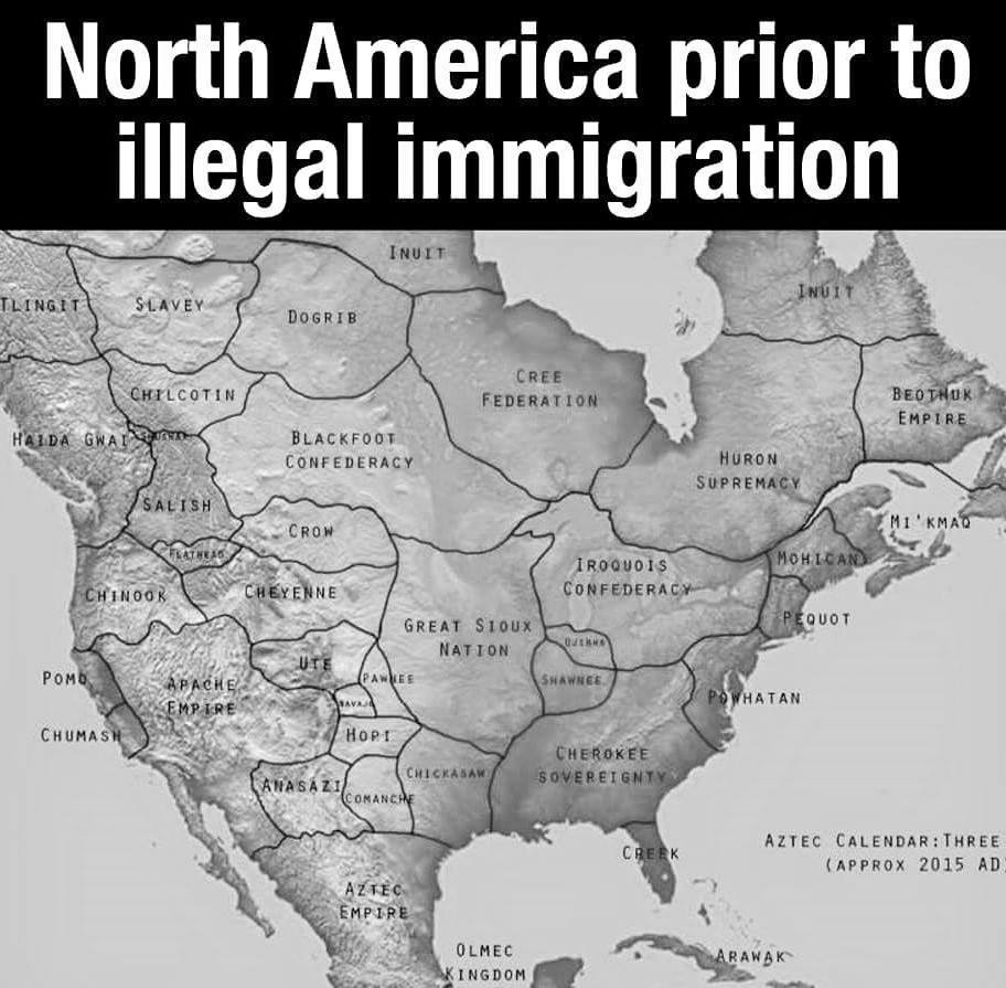
late edit: DISCLAIMER: The pictured map is not actually a representation of the territories before colonisation. It's a hypothetical map of what countries there might have been had the continent not been colonised, thus all the names and borders are fictional and have never existed.

For good actual maps, check out native-land.ca.
you are viewing a single comment's thread
view the rest of the comments
[–] 44 points 2 years ago (1 child)

I think this map tries to apply European notions of borders and nation states where they don't really apply.

  • source
  • hideshow 1 child comment