314
All countries starting in letter "I" are in a straight line
(thelemmy.club)
All countries are in a straight line. If you make it wide enough.
Or long enough, as it's on a spheroid.
Or use the proper projection.
Yeah, like the Euler Projection.
It's actually a curved line
Or if you use a suitable projection. I'm pretty sure you can pick some really wild projection and make it work with another letter too.
While true, this line is pretty narrow considering it is only showing one hemisphere.
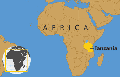
Côte d'Ivorie
It's weird they use this as their "English-language" name but I don't really have a point, just hoping to watch a thread become a comment shit show
It makes just as much sense as calling it Türkiye.
Côte d'Ivoire
Did you know?
All countries are in a straight line?
Please send bitcoin, save the dream 😎
"Fraction of a dot"
*with their anglicized names
India, for example, has been traditionally referred to as Bharat (depending on language root) domestically and among the 100s of languages and dialects used there the name India is never used. Similar to Deutschland and Germany.
What about in the second official language of India, English? :P
The constitution uses "India" in English.
But yes they're the English names...
That's nothing! All countries starting with a letter can be mapped onto the surface of an oblate spheroid.
That's nothing, did you know that you can color the world map so that no adjacent regions share the same color using only four colors
Ivory Coast 😔
Technically called "Côte d'Ivoire" I believe.
By that logic, most of those countries' official names don't start with I, so the map is still wrong whichever way you do it.
La francaise saves the day.
Quite.
Is there a word for the type of ragebait when it's specifically posting something wrong, so that you get engagement from people telling you why you're a fucking idiot? It should be bannable offense regardless. OP going straight on the block list. Actually skimming their profile they look like a low-effort repost bot anyway
wrongbait
That's not a line, it's a fucking rectangle.
On a curved surface.
Ialestine?
Iaza.
And all countries share a common border if you fold the map right 😉
To be honest, everything is in a straight line if wide enough or in the correct map projection...
If you remove Russia, this is a strip that covers almost half of the remaining land mass. Not impressed.
Russia benefits heavily from this map projection
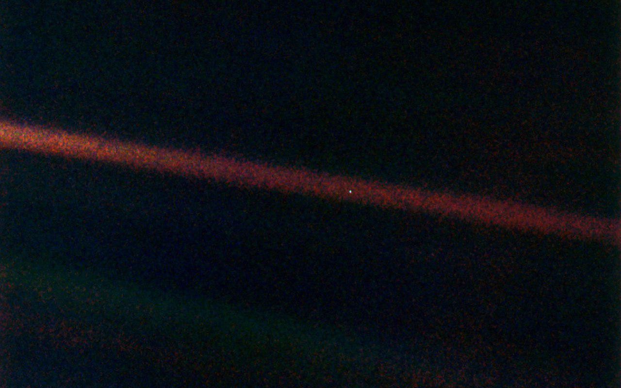
Really, it's this size:

That's easily the case isn't it, the only question is how much distance is there between these two lines.
Guys, guys, this is for real, I just check the wikipedia !
For some reason I read this as the letter T and I got so confused 🤔
I assume this is purely a result of the specific map projection used here. On an actual globe those lines are most likely neither straight nor parallel.
They also exist together on a sphere.
Aye.
For the map enthused!
Rules:
post relevant content: interesting, informative, and/or pretty maps
be nice

